Our research featured on BBC
How robotic mapping technology is applied in forestry
On 30 November 2023, Lintong and I were invited to be interviewed by the BBC Click when we were working with Blenheim Palace on 3D reconstruction of their building. In this interview, we discussed how we tackle forest monitoring with our mapping technology, and how reconstruction of the trees helps the forest manager make better decisions.
You can watch the programme in iPlayer from 19:10. Also see the interviewer Nick Kwek’s post.

DigiForest
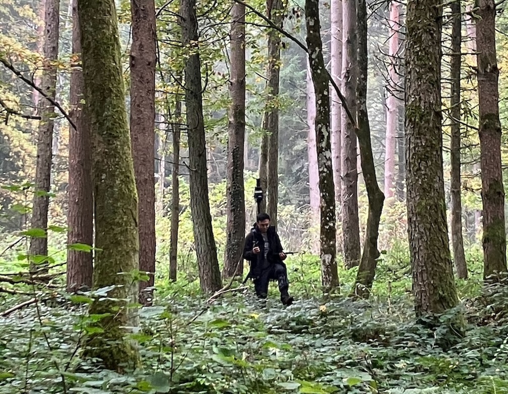
I was funded and participated in the Horizon Europe project DigiForest, and have been to field trails in Evo, Finland and Stein am Rhein, Switzerland deploying our mobile mapping device called Frontier. In the deep forest, navigation is a real challenge: Trees look identical, no distinct visual landmark, the site is huge, and it can be very hard to walk! When I was in Wytham Woods, I almost always got lost after some walking and turning.

Despite the challenge of forest navigation, our SLAM system developed in DRS can precisely localise itself and map a large area of the forest. It is much easier for me to navigate with the SLAM map view in hand! With the posed lidar and visual data, we can then build a 3D reconstruction of the forest! Check out my NeRF mapping work SiLVR.